Why satellite radar alone isn’t enough, and why that matters now
When 3 million m³ of ice and rock thundered off the Birch Glacier on 28 May 2025, it buried most of the Swiss village of Blatten in seconds and left one resident missing. Authorities had evacuated the town a week earlier thanks to deformation monitoring, yet the direct loss of housing and utilities was total (watchers.news). Spain offers an equally sobering record on the opposite hazard: a new nationwide inventory counts 1,118 fatal non-seismic rockfalls since 1803, causing 1,550 deaths and heavy damage to dwellings, quarries, roads and rail (researchgate.net). Catastrophic slope failure is no longer an alpine or mining-corridor issue; it is a mainstream resilience problem for housing agencies, transport operators and insurers.
Early warning exists—InSAR plus freeze-thaw analytics—but signal overload is real
Interferometric Synthetic Aperture Radar (InSAR) can see centimetre-scale ground motion, while freeze–thaw indices flag the snowmelt pulses that weaken slabs; Colorado’s back-country network, for example, logged 557 avalanches in a single month of April 2024 (avalanche.state.co.us). Scientific consensus shows that rapid diurnal freeze–thaw cycles create unstable surface layers and accelerate avalanche release. The challenge is volume: orbital data may light up the same corridor dozens of times per week, forcing safety teams into repeated site visits that strain budgets and still leave gaps in coverage.
Orbit + Onsite: how an edge-camera array cut manual call-outs by 65
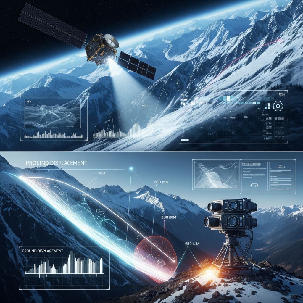
Coactive’s Avalanche-Risk module fuses those satellite feeds with a tri-axis photogrammetric camera array placed at the hotspot itself. Optical-flow analytics trigger a field alert only when downslope displacement exceeds 2 cm within 24 hours—a threshold calibrated to historical run-out data. In our 2024-25 pilot this filter eliminated 65 % of non-actionable alerts, freeing crews to focus on verified high-risk windows and creating a defensible audit trail for insurers and regulators.

Beyond snow: safeguarding bridges, roads and pipeline
Ground instability is equally costly for civil infrastructure. The partial collapse of the medieval bridge at San Esteban de Gormaz on 11 March 2025 cut a regional lifeline and forced 45-minute detours for thousands of residents (elpais.com). Orbit to Onsite applies the same radar-plus-camera logic to detect differential settlement, scour and structural stress in bridges, highways and rights-of-way—delivering quantitative risk scores that asset managers can map directly into maintenance budgets and grant applications.
Housing portfolios and rockfall corridor
For housing authorities, lenders and large owners, subsidence, seep-age and cliff-side rockfalls pose chronic liabilities. Our platform’s housing module combines InSAR subsidence baselines with roof-heat anomaly mapping and low-cost moisture sensors to surface a unified “building health” score—data that underpins parametric insurance triggers and resilience finance even before any specific regulator such as HUD mandates it.
See it in action
If you manage alpine corridors, municipal bridges or multi-family portfolios and need verifiable, real-time evidence of ground stability, download our new technical whitepaper or contact us for a demo. We’ll show you how Orbit to Onsite turns raw satellite imagery and smart cameras into fewer site visits, lower OPEX and a data foundation your insurers and grant reviewers will trust.
